RIVER FALLS – It’s official. After 18 months of hard work, multiple community meetings and engagements, steering committee discussions and resident feedback, the River Falls City Council …
This item is available in full to subscribers.
To continue reading, you will need to either log in, using the login form, below, or purchase a new subscription.
If you are a current print subscriber, you can set up a free website account and connect your subscription to it by clicking here.
Otherwise, click here to view your options for subscribing.
Please log in to continue |
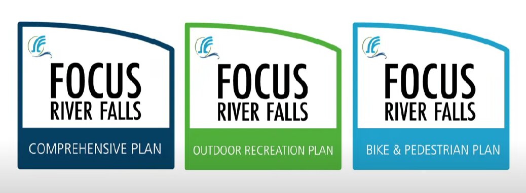
RIVER FALLS – It’s official. After 18 months of hard work, multiple community meetings and engagements, steering committee discussions and resident feedback, the River Falls City Council officially adopted updated Comprehensive, Outdoor Recreation and Bike & Pedestrian plans at its March 28 meeting.
Stephanie Falkers of SRF Consulting Group praised the city’s residents, council and staff for their hard work updating three important plans.
“Focus River Falls has been a really exciting 18 months working with the community to update three plans … each of which have some really important direction that we’re including for the community and some really specific actions that’ll be exciting to work on moving forward,” she said.
The plans were really driven from community engagement. The website engagerf.com was the primary form of online communication used to reach residents, Falkers said, along with 2,260 in-person interactions at events.
“Really it’s our guide to physical, social and economic development,” Falkers said. “So as we’re making decisions in investing in physical and social space, what are the goals that we have and that’s what’s identified within the comprehensive plan.”
The plans create a 20-year vision for future planning and community decisions. State law required they be updated every 10 years. Official mapping, subdivision and zoning actions must be consistent with the plan.
Six themes identified early on by the community appear in the other plans as well, Falkers said. She listed each one:
Connection – Desire to connect to people and places and experiences in the community
Livability – That we can all find our space to thrive
Access – To social services, housing and transportation choices
Resources – Natural resources really highlighted, being good stewards
Partnerships – Emphasis on partnerships
Resiliency – Sustainability; the city has done a lot of great work already, but want to plan and adapt to changes along the way.
The plan’s chapters include detailed information on the plan’s goals, housing, natural and cultural resources, economic development, transportation, utilities and facilities, land use, recreation, intergovernmental cooperation, implementation, and appendices.
Housing access is one of the key focus items in the plan.
“Trying to increase access from both a level of affordability, providing housing options that people can afford, but that also meet some of the styles or formats that they’d like to see,” Falkers said.
She spoke specifically of “the missing middle,” defined as housing between apartments and traditional single-family homes, such as duplexes, townhomes and even tiny homes.
Another important part of the plan addresses land use, the whole reason why comprehensive plans are completed.
“Not only do we include a future land use plan that identifies those future growth areas, but what is the look and feel that we want to get out of that development, from our zoning ordinance, making sure that we’re thinking about community connectivity and about how the spaces and development connect,” Falkers said.
The plan includes increased residential density. The 2005 plan maxed out at 12 units per 1 acre. The plan also brings up to date the urban area boundaries.
“That really is setting the growth area that we’re looking at within the community,” Falkers said.
The Outdoor Recreation Plan, which is required by the Department of Natural Resources, must be updated every five years in order for the city to be eligible for grant funding. The plan addresses the city’s existing facilities, new facilities, green corridors, resources and overall systems.
Needs the community identified, that communities of similar size have, included an outdoor skating rink, an outdoor basketball court, another pool, and a skate park.
Implementation of the plan includes items specific to the Sterling Ponds Park, Glen Park,
Hoffman Park, the Kinni Corridor, and park and recreation areas overall. The overall recommendations include key items such as:
The community and school forests were also added to the plan.
As for the Bike & Pedestrian Plan, the vision statement is “Walking and biking are comfortable modes of transportation that connect people of all ages and abilities to one another and everyday destinations via safe, accessible infrastructure.”
Five goals were identified that support the vision: Accessibility, connectivity, health and safety, sustainability, economic vitality.
Maria Wardoku of Alta Planning + Design said the steering committees analyzed data on crashes, traffic stress, equity and demand. They engaged with the public online, through walking and biking tours and open houses.
“People pointed out many locations where walking and biking improvements are really needed,” Wardoku said. “We especially heard a lot about Main Street, Powell Avenue, Division, Cascade and Cemetery Road. People also shared they want to see new and expanded bike and skate parks developed within the city.”
The group produced network recommendations aimed at connecting the neighborhoods, the parks, the schools, the commercial areas with bicycle and pedestrian facilities that are accessible and comfortable for people of all ages and abilities. They are divided into two categories: Spot improvements located at roadways or river crossings, which includes 35 recommendations for enhanced crossings at mid-block or minor street intersections, intersection improvements at signalized or major street intersections, one grade separated crossing over the highway and bridges over the rivers aligning with the Kinni Corridor plan. Linear improvements are located along a roadways.
“This is a starting place, not necessarily where you’ll end up on every single project,” Wardoku said. “There are more ways than ever before to fund and build these projects.”
Other items that came from public feedback were implementing a Cedar Street Greenway, maintaining year-round access to walking and biking, and adding to the Safe Routes to School plan.
During the public hearing, River Falls Public Library Director Tanya Misselt expressed her support for the Comprehensive Plan. She promised the library will do the following:
At the heart of American public libraries, you will find a passion for art, literature, history, knowledge, and the creative process, she said.
To view the plans in their entirety, visit engagerf.org